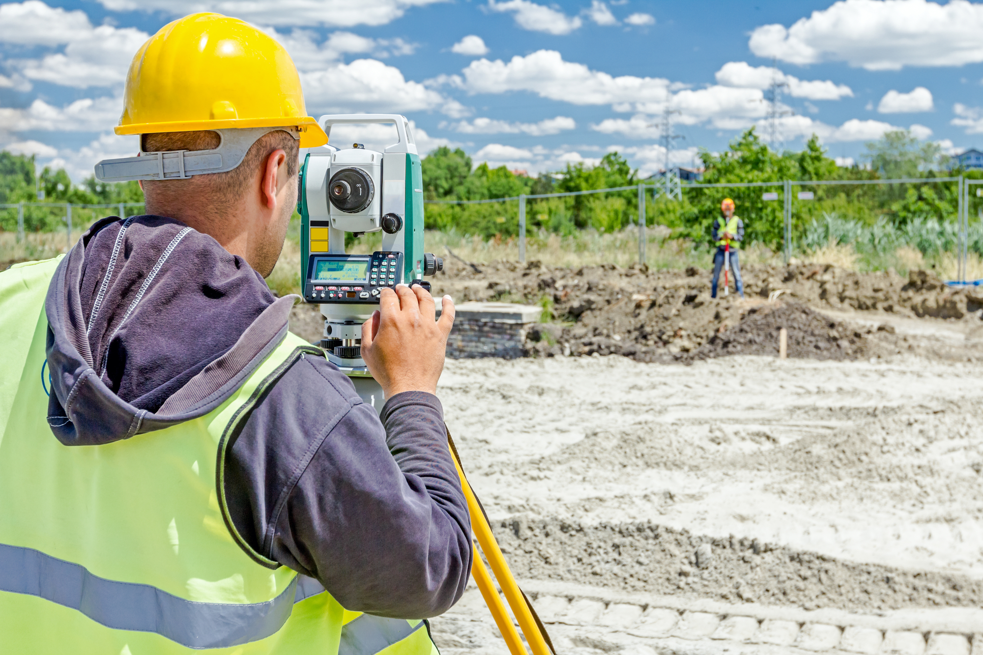
C3 Civil Engineering utilizes trusted sub-consultants for our clients’ surveying needs. Surveying involves measuring and mapping the physical features of a site, including boundaries, topography, and encumbrances. This information is then used to create detailed maps and plans for the site, which are essential for designing and constructing buildings, roads, and other infrastructure. Surveying also plays an important role in ensuring that projects comply with zoning and other regulatory requirements. Our sub-consultants use state-of-the-art equipment and technology to collect and analyze data, ensuring accuracy and efficiency.